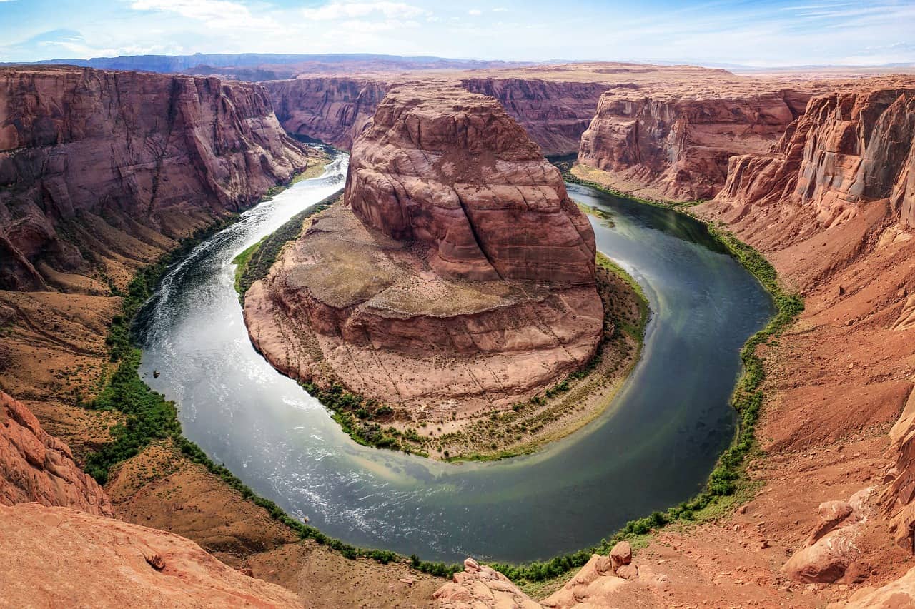
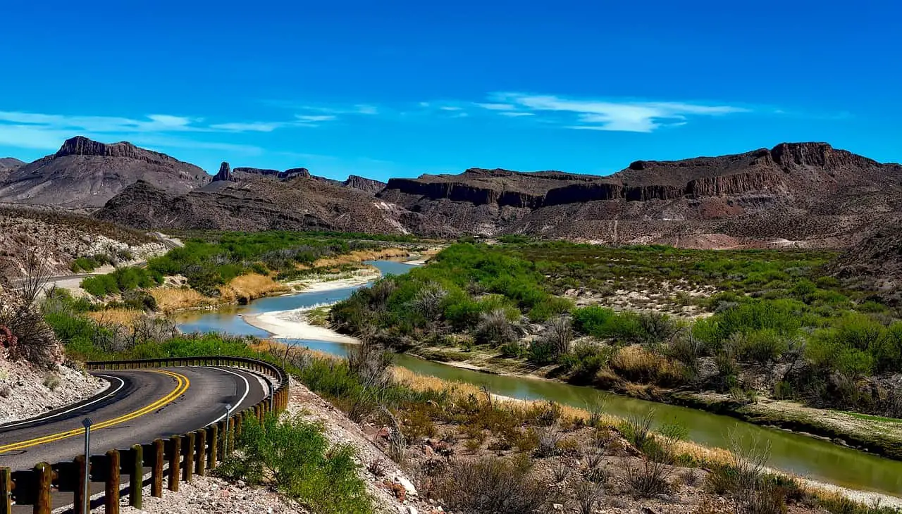
If you love exploring the wealth of wonders that there is to discover along the Grand River and throughout the Grand River watershed are a long list of trails that are great for biking and hiking. There there is the river itself which is one of the top places to paddle in Ontario. Additionally, on top of the Grand River trails, there are incredible communities that dot the watershed.
Grand River Bus Schedule
Blog Post Content
The Grand River flows from Dundalk to Port Maitland, on Lake Erie. The river stretches roughly 310 km and is the largest river located in southern Ontario, Canada. Additionally, the Grand River is designated a Canadian Heritage River.
With a surprising size of 6800 square kilometers, the river’s watershed is approximately the same size as Prince Edward Island. There is a number of other rivers within the Grand River watershed.
Others rovers are the Conestogo River, Nith river, Eramosa River and Speed River. In addition, a number of cities and charming small towns dot the Grand River and its watersheds such as Brantford, Elora, Kitchener, Paris and Cambridge. As well as places to explore along the Grand River, there are several conservation areas too, which are managed by the Grand River Conservation Authority.
A few must-visit parks managed by the Grand River Conservation Authority are the Elora Gorge Conservation Area, Rockwood Conservation Area and Luther Marsh Wildlife Management Area.
Grand Watershed Trails Network
The Grand Watershed Trails Network is not for profit organization that is dedicated to bringing awareness to the incredible area of Ontario that falls within the Grand River watershed.
With the watershed running from Dundalk to Port Maitland their area of focus is huge. Their main goal is to bring awareness to the network of trails within the Grand River watershed and bring together people, nature and community.
The Grand Watershed Trails Network wants to improve existing trail signage and access points to help people who want to navigate on the river as well as off the river. Plus, the Grand Watershed Trails Network is committed to making sure that the trails are inclusive and that all ages and abilities can come and enjoy the trails successfully and in all seasons.
Grand River Trails to Bike, Hike and Paddle

The Grand River trials network is a virtual playground for those who love to play outdoors, as you can bike and hike there. In addition, you can also canoe or kayak along the river from Elora to Port Maitland. A number of trails connect to other major Ontario trails, like Trans Canada Trail and the Waterfront Trail.
Cambridge to Paris Rail trail
The Cambridge to Pas Rial Trail is 18 km long and is one of the most famous Grand River trails. This trail follows the old rail line and also makes up a section of the Grand Canada Trail and Grand Valley Trail. This is one of the favorite paths for cyclists as the trail is level and made up of fine gravel.
Although, it is also great for families and hikers because that provides different access points. The trails run along a scenic area of the river and provide a number of lookouts of the Grand. Additionally, it passes through part of Ontario’s Carolinian Forest, which is a perfect habitat for a number of bird species. This area of forest is home to around 25% of Canada’s species at risk, including a few amazing warbler species.
SC Johnston Trail
You can hike or ride above Paris on the SC Johnson Trail and which is a 14 km-long trail that runs between Brantford and Paris. The SC Johnson Trail travels along the deserted railway line of the Northern Railway. So there is no surprise that it is also a part of the Trans Canada Trail.
Like with many other trails, this is perfect for biking as well as hiking. This trail is mostly gravel or paved but it does have some steep sections. Although, you will be rewarded with incredible views of the Grand River and the charming small town of Paris. One thing you must note is that this trail does cross a couple of roads. So you should be aware of traffic.
Grand Valley Trail
Spanning early the whole Grand River is the Grand Valley Trail, This footpath runs almost the full length of the Grand River watershed from Alton to Rock Point Provincial Park, near Dunnville for more than 270 km. The Grand Valley Trail is made up of four sections and the first one is of 40 km Pinnacle section, which goes between the village of Belwood to Middlebrook Place.
The second section is called Black Walnut and flows 75 km, from Middlebrook Place to Brant- Waterloo Road. The third section covers almost 70 km, the Carolinian Crest section travels between Brant- Waterloo Road to Haldimand-Onondaga Towlinw Road at Lafortune Conservation Area. Much of the Carolinian Crest section follows the SC Johnson Trail.
Gilkison Trail
If you are in search of a nice trail that is shorter then head to Gilkison Flats in Brantford. This scenic park is situated southwest of downtown Brantford. You have the option of two different loops the Gilkison Trail Loop is 3 km and takes almost half an hour. Gilkison Trail loops through the park, which runs along the Grand Rivera and it starts roughly midway through the Gilkison Flats and ends at Mount Pleasant Street. Along the trail you will find sweeping views of the river, touring trees and stretches of forest.
There are also a number of beaches along the trail, which are ideal for sitting and taking in the Grand. If you want to explore a longer loop then you can add Fordview Trail, as this creates a 5.5 km loop.
The Gilkison Flats trails are perfect for cycling as well as walking. It is also a great area for bird lovers as a number of migratory birds make their way through the park in the spring and fall. If you want to visit or park in downtown Brantford, then you can take SC Johnson Trail to the Plywood Patch Bridge and cross the Grand River to meet up with the Ford View Trail.
Elora Cataract Trailway
Elora Cataract Trailway connects the Grand and the Credit watershed is the Elora Cataract Trailway. This trail is 47 km and follows a deserted rail line. This was built in 1879 and the old Credit Valley railway was occupied by the Grand River and Credit Valley Conservation Authorities in 1993.
The Trailway meanders from Elora to Cataract and passes through three great parks. The trail runs through the Elora Gorge and Belwood Lake Conservation Areas and Forks of the Credit Provincial Park. Belwood Lake even crosses over the historic Shand Dam.
The Trailway was completed in 1942, the dam was the first dam on the Grand River. Additionally, it became the first large-scale multi-purpose dam in Canada.
Walter Bean Grand River Trail
Walter Bean Grand River Trail is also known as the Walter Bean Trail, it is a 76 km trail that follows the Grand River through Cambridge, Kitchener and Waterloo. This water trail is named in honor of Walter Bean, a local community leader who inspired the creation of a trail along the river through the region.
From north to south the trail offers you a number of highlights to see such as crossing different pedestrian bridges over the river. Additionally, it crosses one of the rare Charitable Research Reserve properties. The water trail is also part of the Grand Valley Trail as well as the Trans Canada Trail.
Additionally, the trail is a great place for cycling and hiking in the summer season as well as cross-country skiing and snowshoeing in the winter season.
Kissing Bridge Trail
Kissing Bridge Trail is one of the Grand River trails known for its charming name and it is part of the Goderich to Guelph Rail Train (G2G Rail Trail), the trail runs along the former CP Rail line and covers more than 127 km. Composed of 45 km of the Goderich to Guelph Rail Trail, the Kissing Bridge Trail runs between Guelph and Millbank.
A small town in Perth County, it takes you through the peaceful countryside, over rivers such as the Grand and Conestoga Rivers, as well as wetlands close to Elmira. You can also take a short 2 km detour that brings you to the West Montrose Kissing Bridge. Kissing Bridge Trail was built in the early 1880s, the bridge is the only remaining covered bridge in Ontario.
It is one of the oldest trails in Canada. You can also grab a homestyle meal at Anna Mae’s in Millbank. In Guelph, pop into the Starberry cafe of Lucky Belly. There is also a West Montrose Kissing Bridge where you can go to enjoy the beauty of nature.
Grand River Bus Schedule
You can access the entire Bus Schedule Department District Department of Transportation Detroit DDOT to want to use safe and comfortable transportation. The new schedule includes a new iXpress route that runs along Highland Road. A number of previous lines have been combined to create new routes. The biggest changes include are as follows-
- The new Route 1 Queen to Grand River, which combines what is previously known as Routes 1, 17 and 25.
- The new Route 2 Forest Heights, combines what were Routes 2 and 24.
- The new Routes 20 Victoria-Frederick, combines what were Routes 15, 19 and 20.
Previous Route New Routes Timings-
- Route 1 Stanley Park Route 1 Queen to Grand River 5.40 am- 1.00 am
- Route 2 Forest Hill Route 2 Forest Heights 6.00 am -10.15 pm
- Route 7 Mainline Route 7 Mainline 6.45 am – 11 pm
- Route 8 University or Fairview Park Route 8 University or Fairview Park 5.30 am – 12.20 am
- Route 15 Frederick Street Route 20 Victoria-Frederick 7.00 am – 12.30 am
- Route 17 Heritage Park Route 1 Queen to Grand River 5.30 am – 12.20 am
- Route 19 Victoria South Route 20 Victoris Frederick 5.30 am – 12.20 am
- Route 20 Victoria Hills Route 20 Victoria Frederick 5.30 am – 12.20 am
- Route 22 Laurentian West Route 22 Laurentian West 5.45 am -10.40 pm
- Route 23 Idlewood Route 23 Idlewood 5.45 am – 10.40 pm
- Route 24 Highland Route 2 Forest Heights 6.00 am -10.15 pm
- Route 25 Queen South Route 1 Queen to Grand River 5.40 am -1.00 am
- Route 27 Chicopee Route 27 Chicopee 6.00 am – 11.20 pm
- Route 51 Hespeler Road Route 51 Hespeler Road 6.30 am -9.10 am
- 203 iXpress 203 iXpress 5.50 am – 12.20 am
